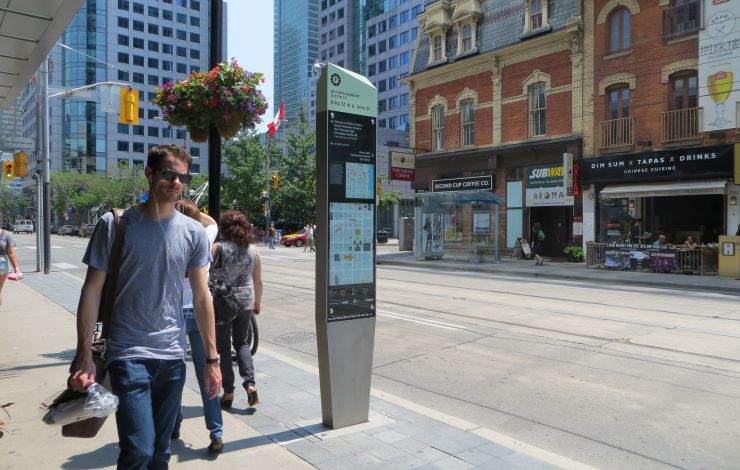
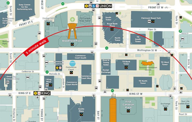
The TO360 wayfinding strategy supports walking as the connecting mode that enables multi-modal transportation in Toronto. TO360 provides information for pedestrians, cyclists, transit users and motorists through unified signage and mapping systems delivered consistently by the City of Toronto and its project partners.
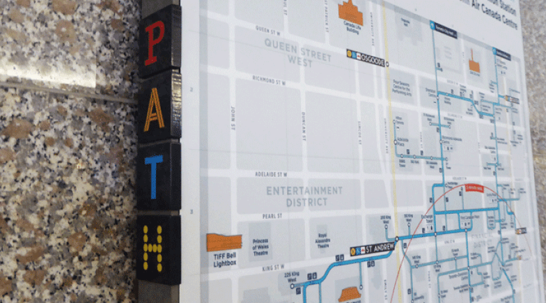
Steer has supported the City of Toronto since 2011 in the preparation and delivery of the TO360 wayfinding strategy. Our activities range from extensive stakeholder and public outreach, to concept and detailed design, to the preparation of an outline business case for investment. Working with local and international partners we delivered a pilot project in the Financial District in June 2015, consisting of TO360 signage and additional mapping delivered through partnerships with local transit agencies.
In parallel to the main pedestrian strategy, our team delivered a cycling wayfinding signage strategy in support of the current expansion of the city's cycling network and prepared a vehicular destination signage strategy and policy to better inform visitors driving to Toronto and to rationalise the current proliferation of destination signs on expressways.
After a successful evaluation of the pilot, the TO360 wayfinding strategy moved forward with a citywide roll-out in 2017.


