When living in a country that has a well-established addressing system, it can be difficult to imagine what life would be like in a world where the property in which you live has no official address.
The things we take for granted like Amazon deliveries, voting, or just receiving a letter in the post become much more complicated if you don’t have an address. An address is a vital component of a country’s national infrastructure and an individual’s identity.
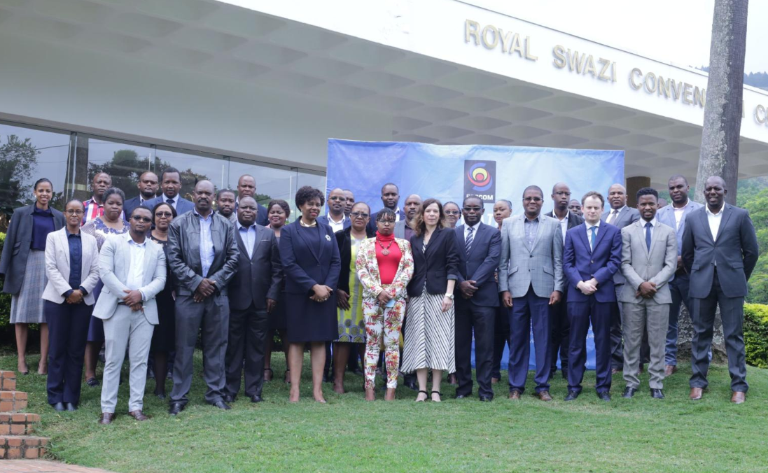
In early March 2020, Oliver Russell – Steer’s lead for GIS and spatial analytics – was invited by the Communications Regulators for Southern Africa (CRASA) to facilitate a workshop, which was hosted by the Eswatini Communication Regulators (ESSCOM). The event was also supported by the Universal Postal Union that has experience of working with countries to implement addressing systems. The workshop entitled “Street Naming, Numbering and Postcode Systems – Capacity Building” focused on the following key themes:
- Develop an overview of street naming and numbering theory;
- Understand the role of postcodes within an addressing system;
- Understand the role GIS can play in helping develop street naming and numbering programmes; and
- Defining the importance of stakeholder engagement and communication strategies.
The workshop, which was spread across two days, consisted of a combination of presentations and interactive group sessions to allow delegates to put what they have learnt into practice and share their experience. One of the most interesting and compelling sessions was the project updates provided by member countries outlining their programme and the challenges and opportunities that have developed throughout their projects.

Throughout the workshop several key challenges arose:
- Financing – what funding sources exist to help support a country develop their programme?
- Stakeholder mapping and engagement – a national addressing project is not delivered by a single organisation. It is a much more collaborative project across multiple stakeholders who must be involved from the outset of a project.
- Developing a national addressing and postcode standard / template / guidance – the complexities in creating a flexible framework to enable different settlement types to have an address solution that works for them and their needs.
- Technical expertise – there is a potential for a project to call upon specialist IT and GIS skills to develop scalable infrastructure to handle the volume of data and provide robust and efficient data collection techniques.
- How new grid-based codes can compliment national solutions – the rise of apps such as Google Plus Codes or What3Words offer innovative approaches to improve the efficiency of logistic operations. However, these apps must work with more traditional services rather than replace them. Addressing is still a vital component in providing proof of residence when accessing key public services and financial services.
- Education and communication – how to best communicate new addresses to residents and businesses and the different commercial models for releasing data. Challenges were also experienced across countries where new signs were being stolen / vandalised as the metal from which they are made is valuable.
The workshop was a great opportunity to share Steer’s experience of working on challenging projects of this nature. Steer has direct experience in developing street naming and numbering projects, having helped to develop a new system for the city of Panama.

Our Design for Movement team has a unique mix of technical experts in the field of urban planning, wayfinding specialists, a digital team developing innovative data collection applications and a team of GIS analysts and Cartographers – all key components in a successful national addressing project.
If you would like to hear more about how Steer can support you in your project, then please get in touch. For an overview of our experience and the projects we've worked on, please visit our portfolio site.


